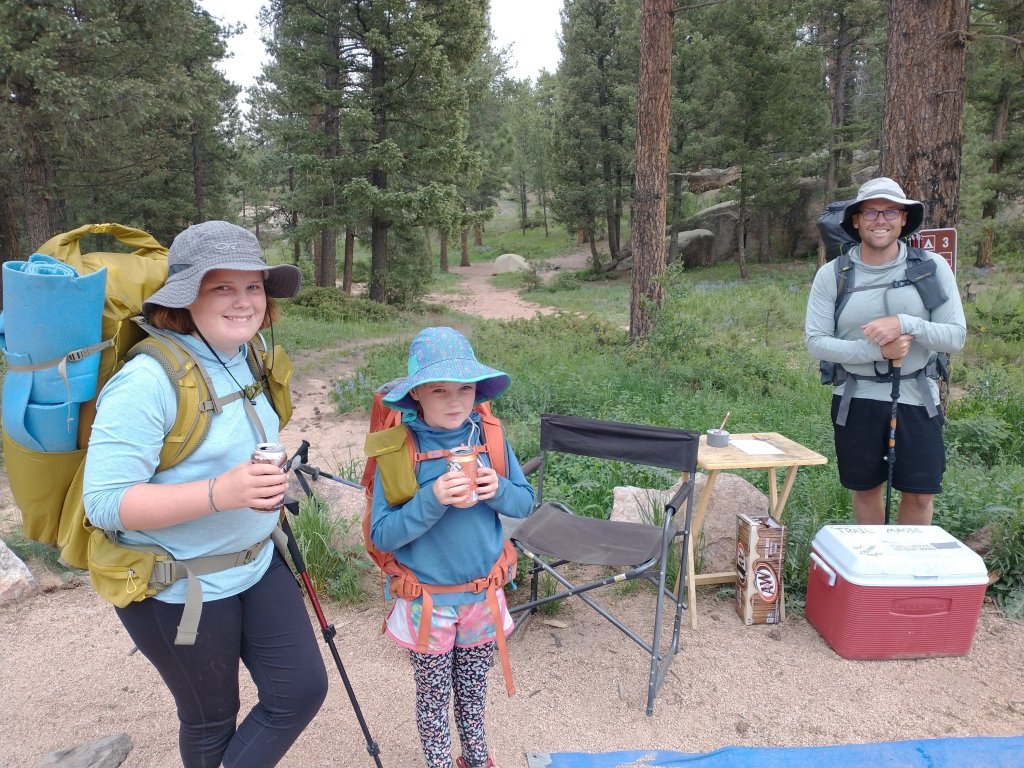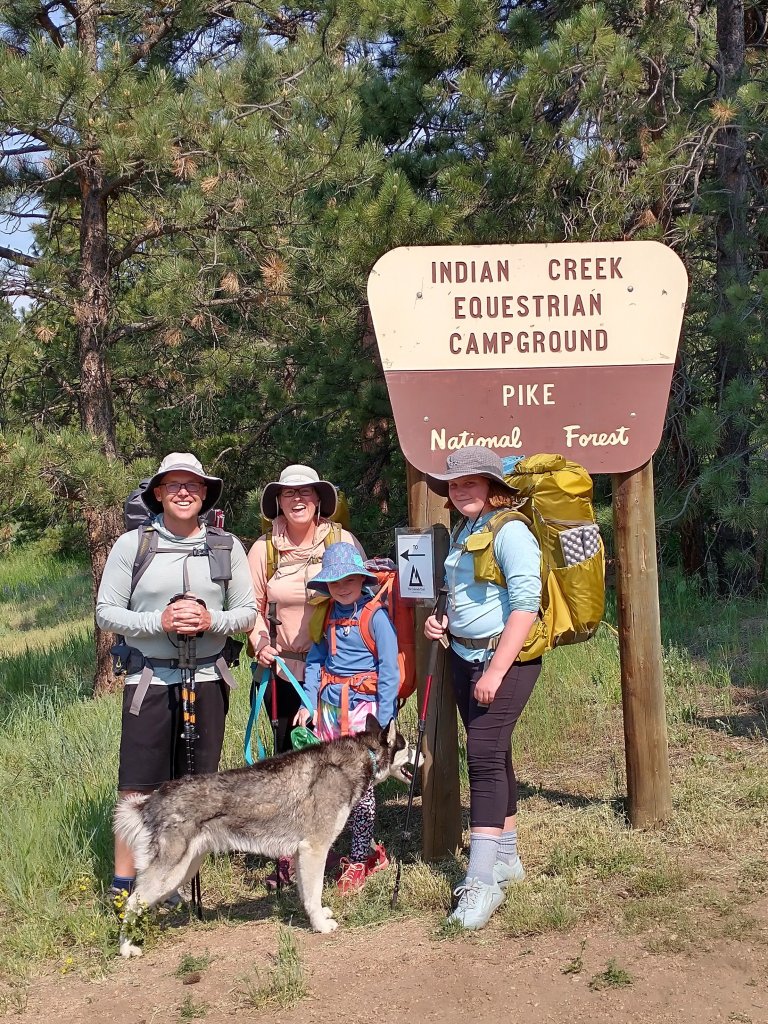
Stats:
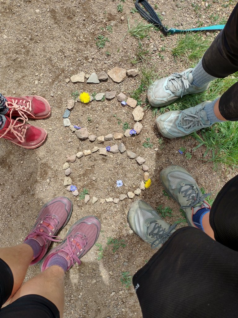
Distance: 4 legs, 9 segments, 20 days, 156 miles
Best food: chicken noodle soup with grilled cheese
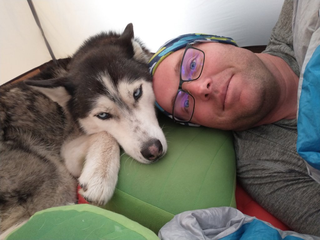
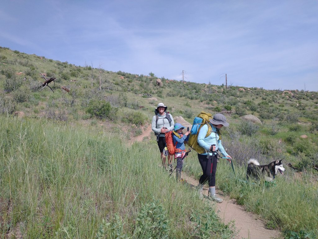
Wildlife sightings: rabbit, and we heard coyotes young across the valley
Day 15:
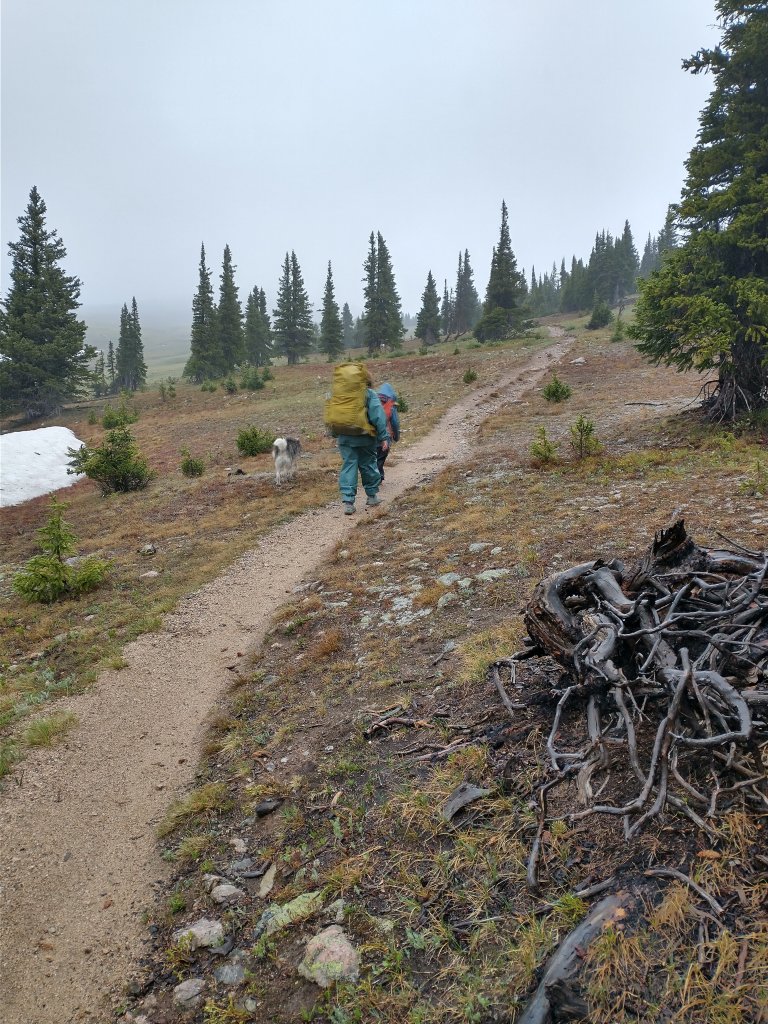
Holy humidity, Batman! But on the other hand, no rain until after dinner. So it was a good day!

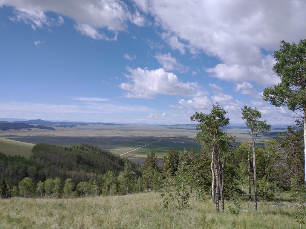
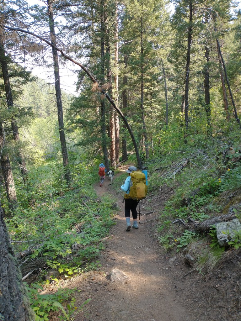
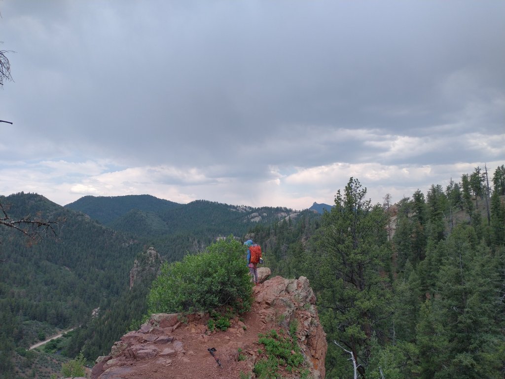
What it really was was a climbing day — whoo, doggy! We camped 2000 feet higher than where we started, but somewhere in the middle we lost a couple hundred feet too. We were persistent, though, and made it a mile further down the trail than we had originally thought we would.
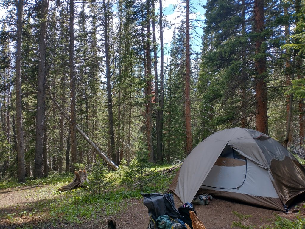
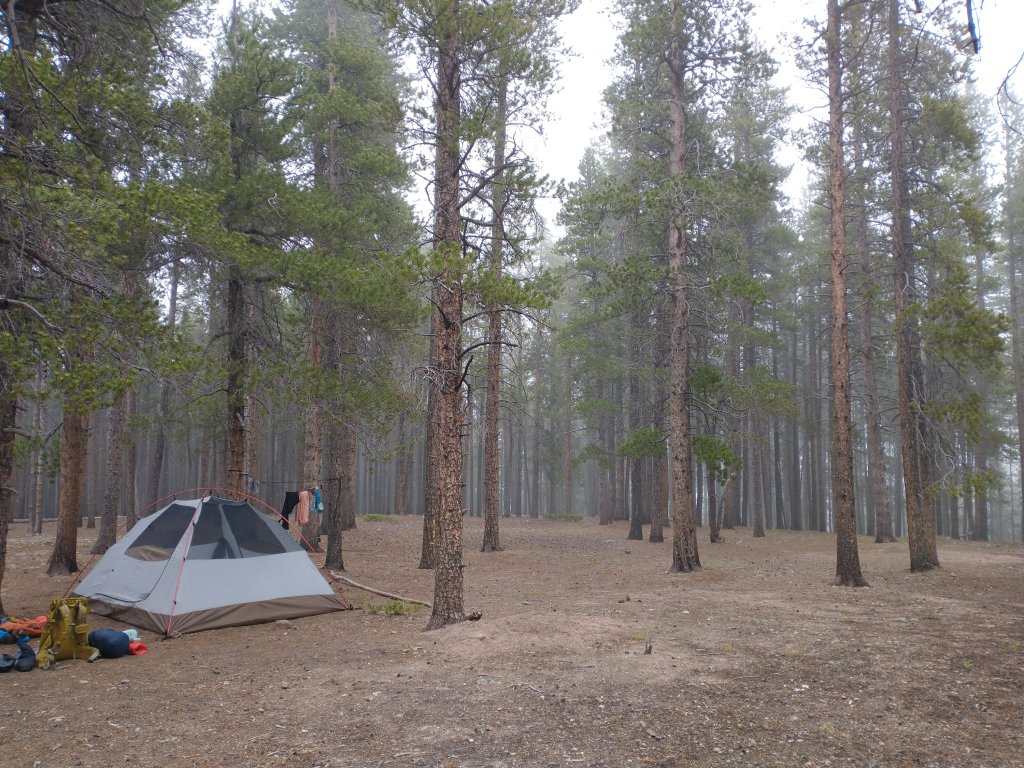
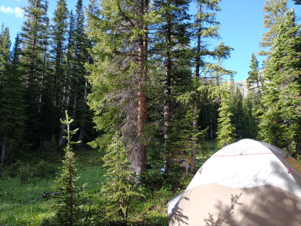
We set up camp in a meadow, just a bit below tree line, with a stream bubbling past, while evening thunder made us cozy in our little warm dry house.
Day 16:
Apparently we weren’t quite done with our climbing. We still had about 1,000 ft of elevation to gain. Whoo, doggy!
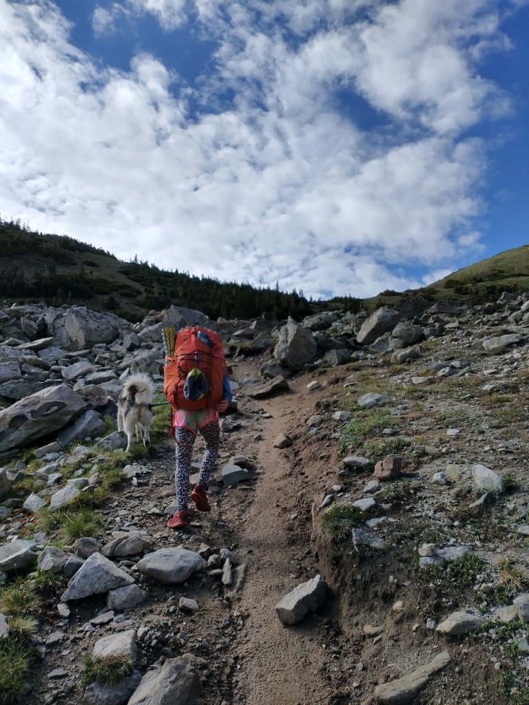
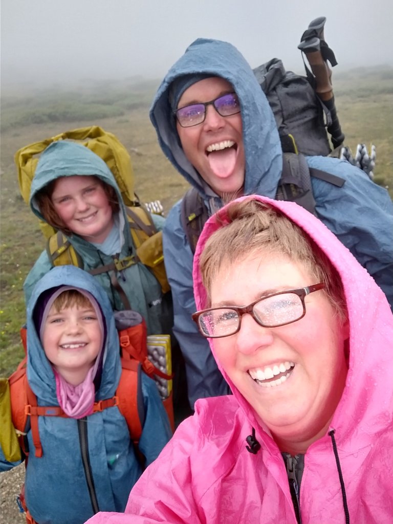
We did eventually get to the pass between Peaks 5 and 6. Just in time for it to … sleet! Oh brother. But, again, no danger of lightning, so we were just annoyed and made our way quickly down.
It was a huge downhill to the highway at the Copper Mountain ski area, and we were motivated by the thought of nachos and noodles and ice cream and beer at an umbrellaed table.

When we got there (yay!), everything seemed perfect for a nice long break. Our food came, our water glasses were full, and we surreptitiously took our shoes off under the table. Then it started to rain. Hard.
Things seemed so unpleasant, I even looked at getting us a room at the resort. But the universe spoke when something went wrong and my reservation couldn’t be completed, and the sun miraculously came out.

We grabbed some special snacks to help motivate us, and walked a mile to a clandestine campsite, and it didn’t rain a drop all night.
Day 17:
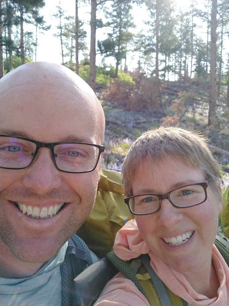
Did I mention climbing? Today we Climbed, with a capital C. It was the hardest day yet.
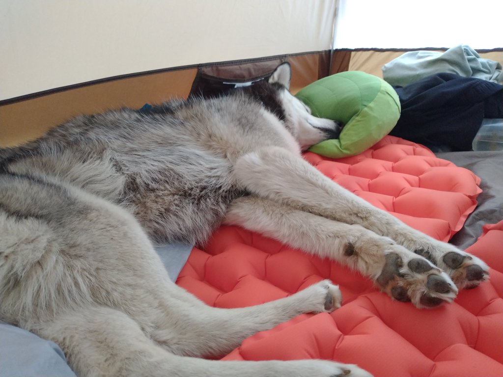
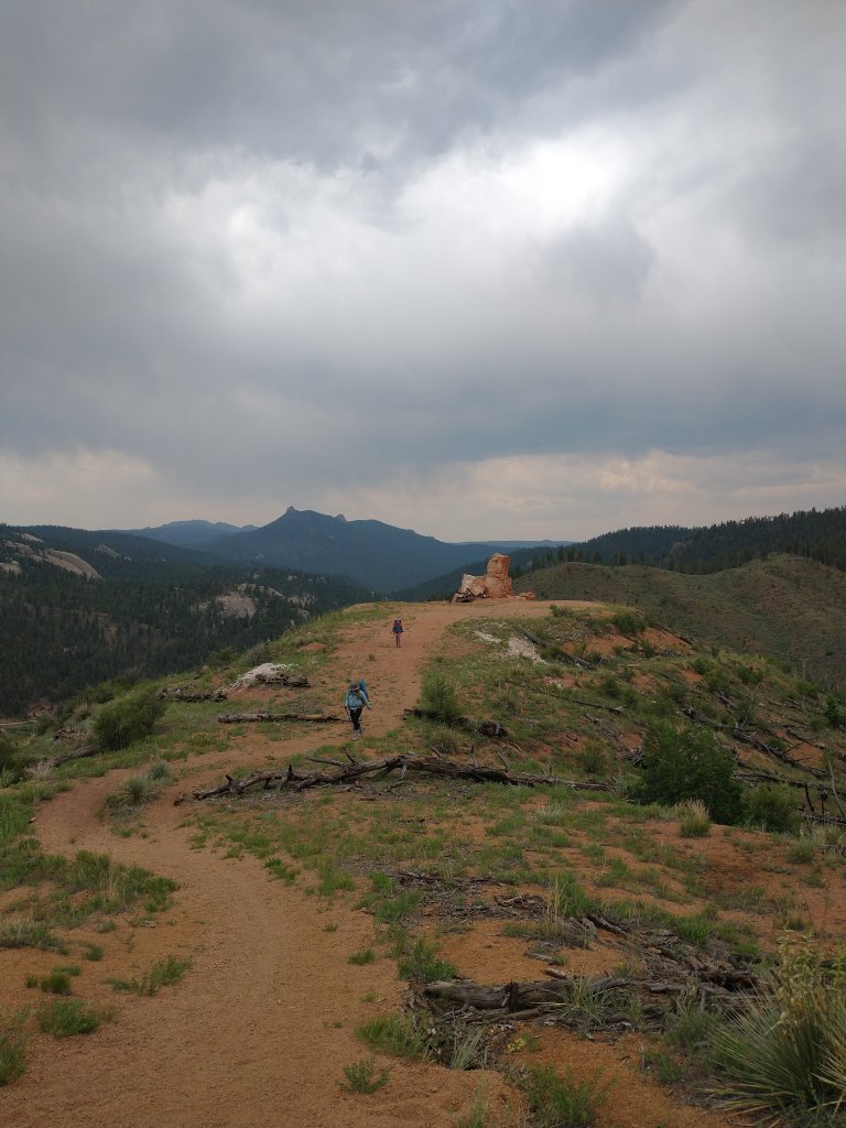
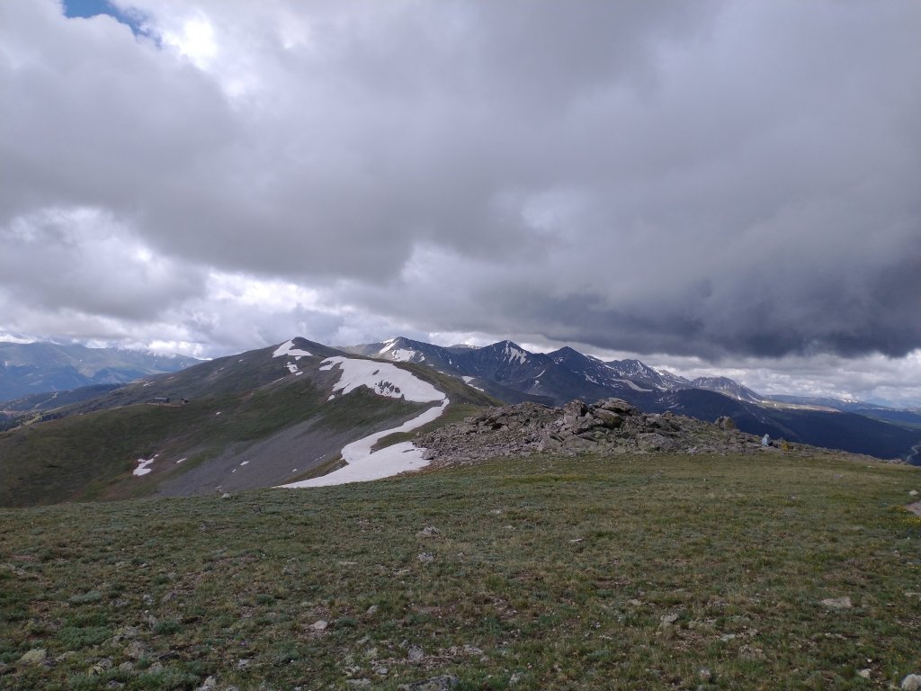
We climbed to treeline. Then we climbed to Searle Pass. Then Pie saw a marmot and dragged Tessa head first down the tundra. (She apologized later after a stern lecture.) Then, guess what? Yep! It started to sleet!
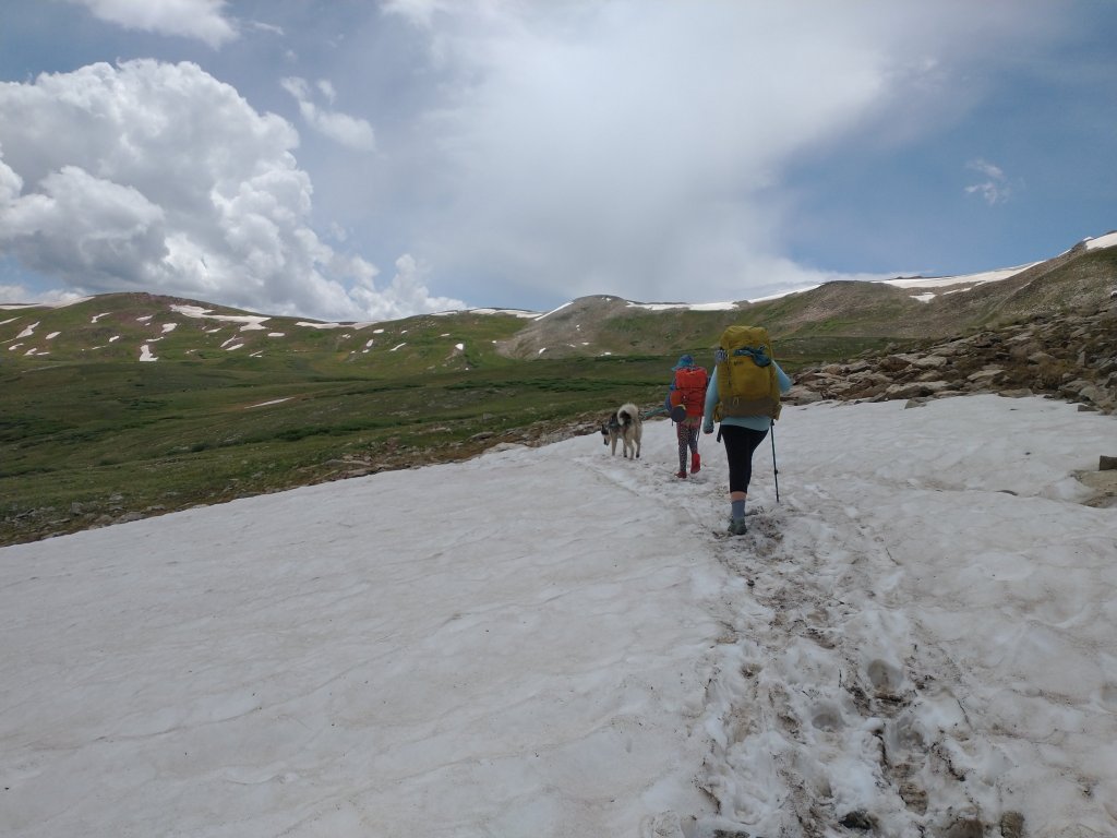
So we climbed up as quick as we could to Kokomo Pass, just as we heard the first thunder claps. Then we climbed down fast to treeline just as the rain began in earnest.

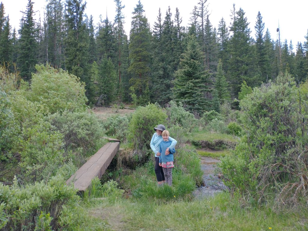
Whew! We went downhill fast (only literally) and found a nice campsite by water. After our half-marathon day, we slept good!
Day 18:
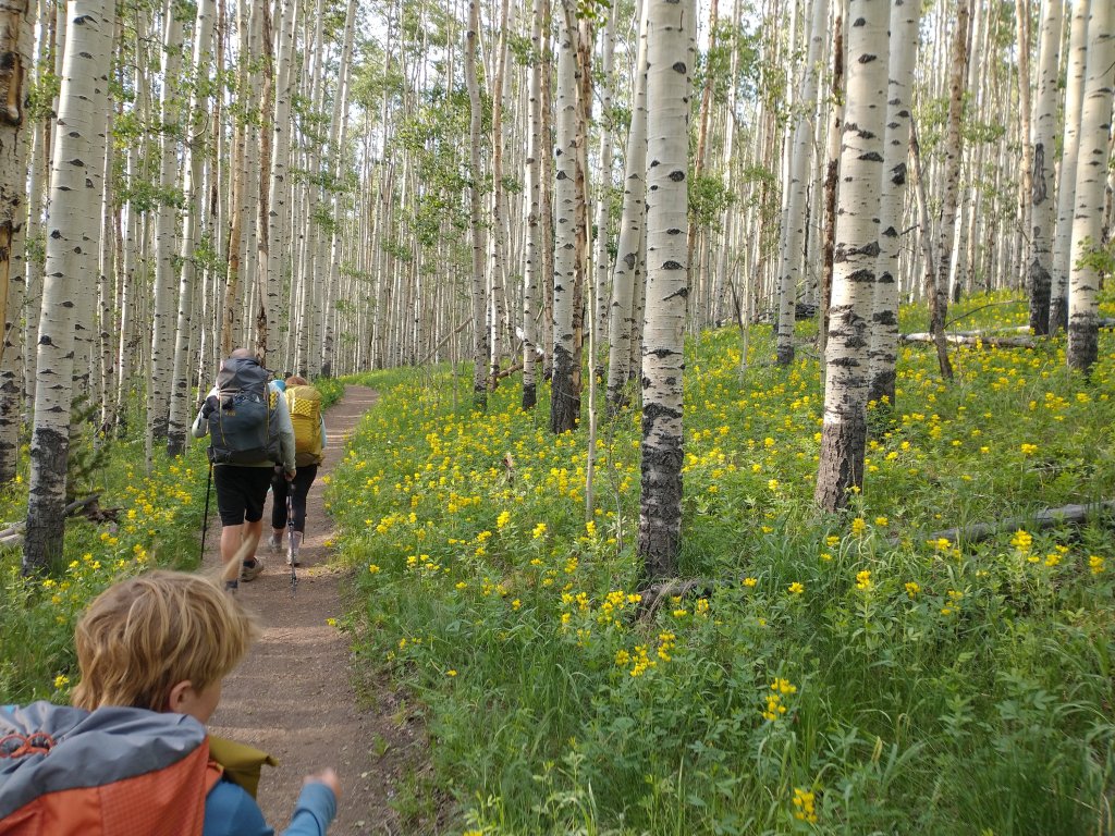
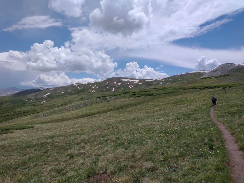
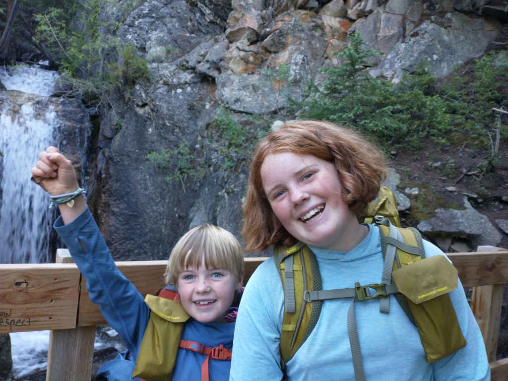
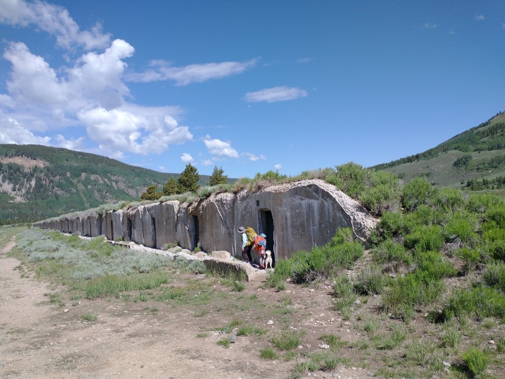
We woke up feeling like we’d done something major yesterday. But we got to warm up our muscles with a bit of downhill to a waterfall, and then a nice flat section to the Camp Hale bunkers.
We ate lunch at a highway crossing, watching cars go by. More of a novelty then mountain views these days!
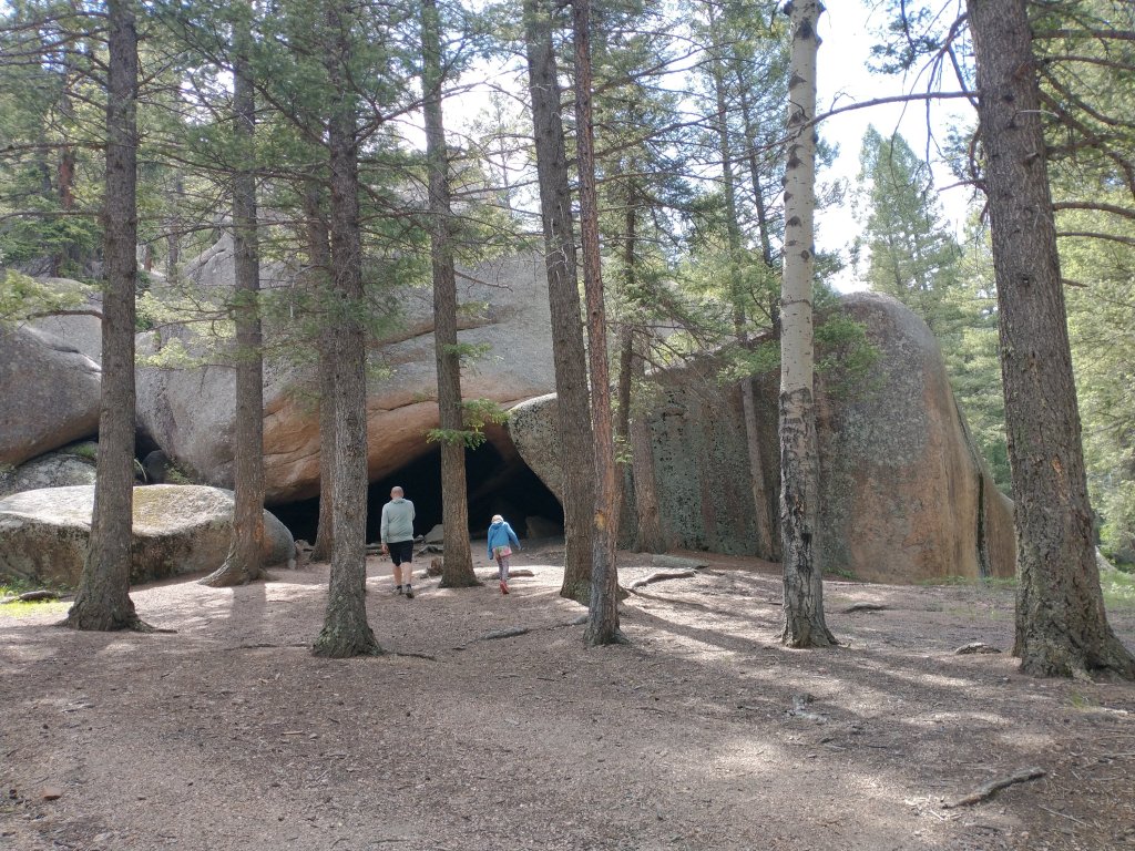
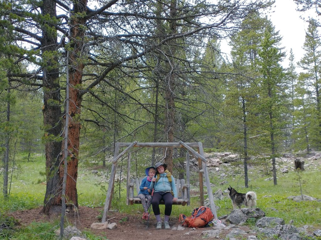
Looking at the map, we decided to go for a little bit of an adventure. Instead of taking the “real” trail, we thought we’d take a shortcut and walk along the (abandoned) railroad. About 2 miles down, there was a tunnel with a swing hanging from above.
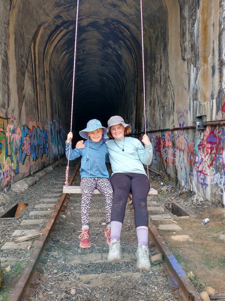
It seemed like a tough scramble up to the highway, plus maybe a quarter mile walk along the shoulder if we went up there. So through the tunnel we went!
It was a loooong tunnel, necessitating headlamps. And the middle was completely iced over. Good thing we had our poles to keep us steady! (Pie was non-plussed.)
At the other side, the scramble was even tougher. But luckily there was some housing above the tunnel and a ladder in good condition. Then it was only a couple hundred yards of bushwhacking in the direction of automobile noise, and we were at Tennessee Pass! It may not have been exactly a shortcut in the end, but it was definitely the most memorable part of the day. (The girls are calling it a fun cut.)
We trekked on another couple of miles so that our hike into town tomorrow was in the single digits. Mosquitos forced us inside the tent to read and be cozy. Good night!
Day 19:
And then mosquitos forced us onward through the forest, up the forest, down the forest, up, down, up, down, up, and finally waaaaay down. If we thought today was going to be a breezy walking day, we were wrong!

But we were motivated by the thought of Nana and Baba waiting for us at the trailhead and the promise of good town food and showers.

We had a wonderfully full dinner amidst Fourth of July revelers, and conversations with fellow travelers at our hostel in Leadville.
And ahhhhhh, a bed.
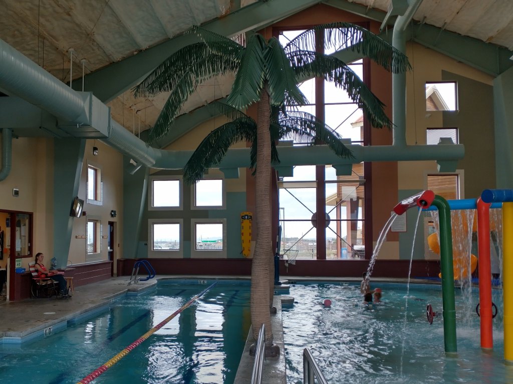
Day 20:
We’re looking forward to some pool time and simple hang-out moments. We are feeling pretty victorious!